GPS Surveying
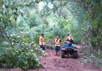
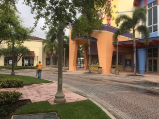
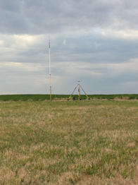
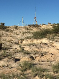
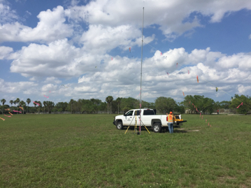
HD utilizes Trimble R10 GNSS RTK surveying equipment for survey stakeout. With our base station and multiple rovers many points can be staked out in a time efficient manner. All recording crew vehicles are equipped with GPS units loaded with post plot survey locations to aid in navigation and ensure quality control. We have Trimble Business Center, ArcGIS, Global Mapper, and other software to allow us to work with various positional formats and datums. We generate daily progress maps which show survey production and stakeout deltas.